Solly's Blog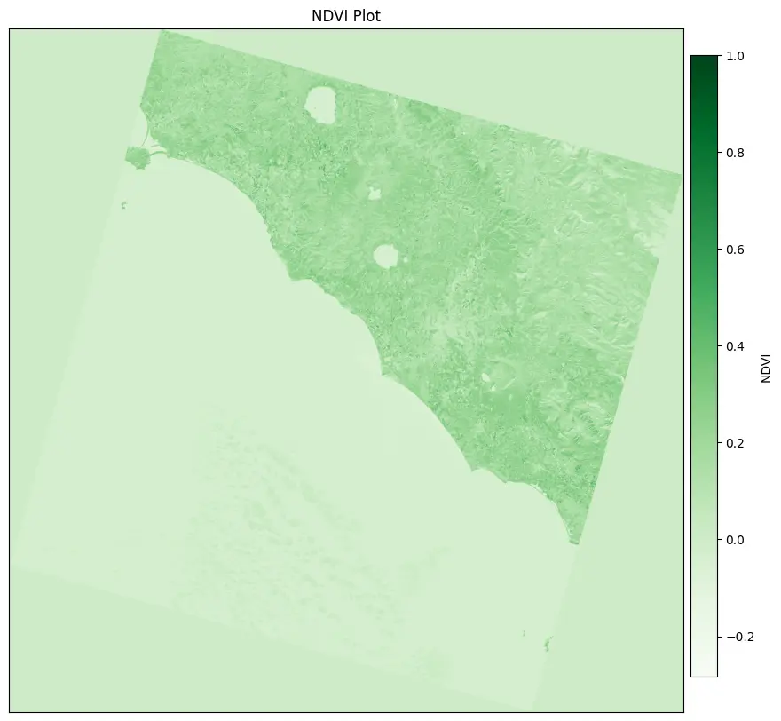
I recently published an in-depth blog post on my company's website walking through how to use IPFS (InterPlanetary File System) for geospatial analysis. In the post, I use a Jupyter notebook to calculate the Normalized Difference Vegetation Index (NDVI) on Landsat 9 satellite imagery fetched from IPFS.
Some key highlights:
- Overview of what IPFS is and how its decentralized nature can benefit geospatial workflow.
- Step-by-step walkthrough of calculating NDVI using Landsat bands fetched from IPFS.
- Demo of publishing the final NDVI plot back to IPFS.
- Discussion on how you can pin data to your own IPFS node to make it more readily available on the network
I demonstrate the full power of IPFS for handling large geospatial datasets in a decentralized way. Whether you're an experienced geospatial developer or just getting started with this type of analysis, I think you'll get a lot out of this post!
Check out the full post here for code samples, images, and detailed explanations: NDVI on Landsat 9 imagery with data using IPFS
Let me know if you have any other ideas for using IPFS in the geospatial domain! I'm excited about the potential here.